Projects are presented as problems, methods, and usable outcomes—the clearest way to show what geospatial practice can do.
Marine conservation
Research · modeling · data portal
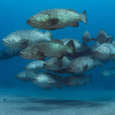
Fish spawning aggregations
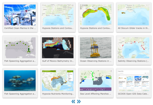
Spatial research and a Gulf-wide portal that bring biological knowledge, monitoring resources, fisheries context, and maps together for conservation and management.
Production systems for discovering, processing, and visualizing ocean and environmental data—from near-real-time glider missions to reusable map catalogs and APIs.
The work crosses disciplines because useful geospatial products rarely stop at analysis.
01
Observe
Frame the geographic question, understand the field context, and evaluate source data before choosing a tool.
Field mapping · remote sensing · data quality
02
Analyze
Build reproducible spatial analyses and models that expose patterns, uncertainty, and decision-relevant evidence.
Spatial statistics · Python · SQL · ML
03
Deliver
Turn the analysis into dependable pipelines, APIs, maps, and interfaces that teams can operate and people can use.
PostGIS · cloud · CI/CD · web maps
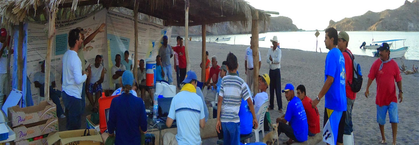
Field research and collaborative mapping in coastal Mexico.
About Shin
A geographer who builds.
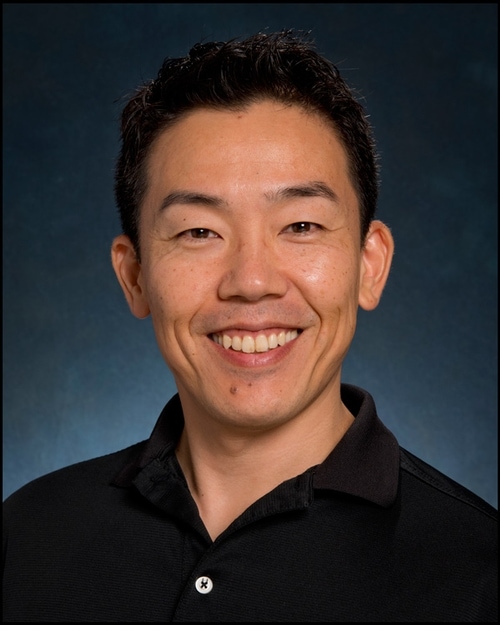
Shin Kobara is a geospatial data scientist with a PhD in Geography and a GISP certification. His work joins spatial science with the engineering needed to move an idea into production.
His experience spans seafloor mapping, reef and fisheries research, spatial statistics, machine learning, PostGIS, cloud data platforms, GIS infrastructure, and public-facing map applications. Published research includes reef-fish spawning aggregations, seafloor geomorphology, and ocean observing systems.
“Coding makes analysis easier, faster, and more reproducible—and the web gives the result a way to travel.”
 Marine conservation