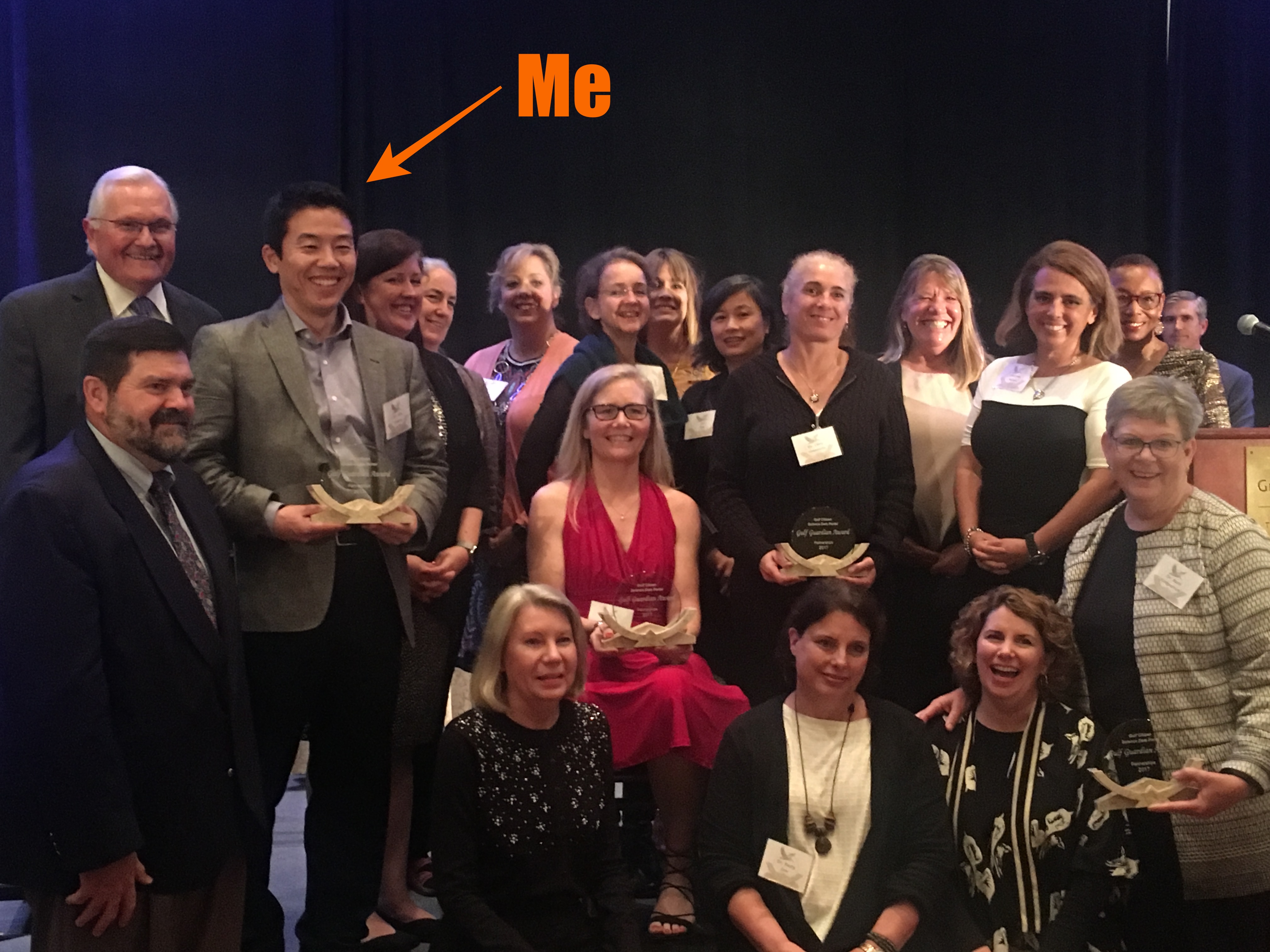
@2017 EPA Gulf Award Ceremony
What I love to do
When you know coding, it makes your analysis easier, faster, and better. It also helps to visualize your results through the website. GIS provides me opportunities to have a fun time for analysis, coding, visualization, and story-telling. I love GIS because it has all I want to do. That's why I've learned how to do
Geospatial Analysis, how to utilizeGIS Server, how to develop aWeb Map Applicationto share and visualize results, and how to code forpackaging,modeling,automationfor pipeline development.I am enthusiastic about Geospatial Data Science/Engineering and Visualization, especially with maps. Focusing on Machine Learning using
Python,SQLandJulia.
Summary
Dr. Shinichi ("Shin") Kobara is a Geospatial Data Scientist with a Ph.D. in Geography and a certified Geographic Information System Professional (GISP). He has data engineering skills with experience in spatial analysis, spatial statistics, geo-visualization, geospatial predicting model development, and GIS server management.
Over a decade of experience specializing in geospatial data analysis, model development
Proficient in
SQL(CTE, Window function, user-defined functions, etc) andPythonfor algorithm development, feature engineering, ETL/EDA, CI/CD, API development, orchestration, testing, and implementation.Experience using data science tools and techniques for geospatial data product development and data visualization with
GCP BigQuery/GCS,AWS SageMaker/Lambda, andArcGIS Enterprise/PortalApplied research experience in Geospatial Analysis and hands-on experience in machine learning
Resume
Experience
Coordinate developing and administrating Geographic Information Systems (GIS) projects, including developing technical priorities, client reporting, interface, and coordination and reviewing schedules and budgets.
Create, analyze, report, convert, or transfer data using specialized applications program software
Design and develop python packages used by multiple teams
Design, program, and model GIS/web map applications or procedures
Refactor and/or customize SQL queries for several projects
Lead, train, or supervise technicians or related staff in the conduct of Geographic Information Systems (GIS) analytical procedures
Design, build, or maintain websites using authoring or scripting languages, content creation tools, management tools, and digital media
Develop client relationships and communicate with clients to explain proposals, present research findings, establish specifications, or discuss status.
As a Geospatial (Data) Scientist
Fieldwork & and mapping, analyzing, modeling, and predicting
Publications
See Researchgate
Near real-time oceanic glider mission viewers 16th chapter of the book: Ocean solutions, Earth solutions
Watershed analysis for Mesoamerican reef Statistical analysis contribution (with GIS and R)
15+yrs GIS knowledge and skills
Data visualization
3D Visualization
Map Visualization Gulf of Mexico
Near real-time glider visualization
StoryMap (Share research with story-telling style with maps)
Websites
RESTORE project (Flask/MongoDB/Nuxtjs)
Citizen Science (Plotly/Dash)
Invasive Species observation map (ArcGIS WebApp Builder)
[Post-oil spill glider tracking map for NOAA ERMA Deepwater Gulf Response]
Pattern Identification (Environmental Science)
Predict fish spawning aggregation sites with satellite data and shape analysis
Runoff/Sediment estimate on reefs (Hydrology)
Habitat suitability
Animal density and abundance spatial modeling
Hurricane damage assessment (image classification & analysis)
Spatial Statistics
Statistical models for discrete, continuous, and regional data: Experience with Point pattern analysis for modeling discrete points, Geostatistics for modeling spatially continuous data, and Lattice analysis for modeling data.
Use exploratory data analysis techniques to identify meaningful relationships, patterns, or trends from complex data sets
Point pattern analysis
Research(Toward Predicting and Protecting Fish Spawning Aggregation Sites)
2weeks ~ 2months field trips
Seafloor mapping in Belize, Cayman Islands, Venezuela, Mexico
Predicting model based on bathymetry and satellite data
Satellite image processing for prediction
ArcGIS Model Builder, Python
Shell: automation (data download, upload, processing)
Machine Learning
Fish Spawning aggregation site prediction
Satellite Image Processing (classification and object detection)
Completed coursework: "Machine Learning", "Mathematics for Machine Learning: Linear Algebra", "Deep Learning Specialization", "DeepLearning.AI TensorFlow Developer Specialization", "Applied AI with DeepLearning
Machine Learning (**Traditional/Tabular data): Linear/Logistic Regression, Decision Tree Models, Ensemble methods, PCA
Environment
Amazon SageMaker
Google Cloud VertexAI
Visual Studio Code
PyCharm
Jupyter
As a Data Engineer
DevOps, Web map application framework, Database, and Server
Databases 10+yrs
PostgreSQL/PostGIS
DuckDB
MongoDB
MySQL
Google BigQuery
DevOps 8+yrs
Docker (AWS ECR)
GitHub/GitHub Action (automation)
Shell (env/cron)
Hashicorp Vault (authentication)
Cloud/Orchestration 5+yrs
Airflow
GCP (BigQuery/Cloud Storage)
AWS (Lambda/ECR/Fargate)
Web: Developed and managed GCOOS Products & Services (Search & Find) https://products.gcoos.org
Web: Frontend development including faceted search, map applications
ArcGIS Javascript API, Esri-leaflet
axios
Develop multiple web applications (see projects)
Web: Backend development 10+yrs
Docker (all apps are dockerized)
Django
FastAPI
MongoDB/PostgreSQL
Traefik (proxy and load balancer)
ArcGIS Server Enterprise (CentOS, Windows 2019, Amazon AWS) (e.g. https://gis.gcoos.org)
Linux (Ubuntu): cron, Nginx
Administrator role for ArcGIS Online for Texas A&M University
ArcGIS Hub (aka OpenData) Managerhttps://gisdata.gcoos.org
Administrator role for ArcGIS Portal for GCOOS and ArcGIS Server Enterprise
System administration for both dedicated servers (both Linux and Windows ) and Cloud (AWS)
ArcGIS Server Enterprise Setup and Maintenance, including Proxy, SSL, WebAdaptor, PostgreSQL/PostGIS, Automatic map server update processing, cron/task scheduler
ArcGIS ImageServer (https://gis.gcoos.org/arcgis/rest/services/Images)
ArcGIS GeoEvent Server
ArcGIS Notebook Server (internal)
Real-time GIS
Waveglider monitoring with ArcGIS GeoEvent Server (e.g. Waveglider-Ocean-acidification-monitoring-test)
Certificates and Licenses
Geographic Information Systems (GIS) Professional (
GISP) issued by GISCIOnline course certificates such as Machine Learning, Deep Learning Specialization, and TensorFlow in Deployment are listed at Linkedin
Visa Status
** He is a US Permanent resident (a Green Card holder)
Programing Language
Many repositories are private, but some are publicly available via Github
Python 10+yrs
Analysis: pandas/scikit-learn
GIS: geopandas/shapely
Backend: Django/FastAPI
Visualization: Plotly/Dash
Cloud/Data Warehouse: Google Cloud API
Web Scraping
SQL 8+yrs
PostGIS 8+yrs
DuckDB spatial 1yr
Google BigQuery 3yrs
Julia 3+yrs
Analysis: DataFraems, MLJ, BetaML, Flux
Data: DuckDB
Visualization: Plots/Makie
GIS: GeoStats, ArchGDAL
TimeSeries: TSFramkes
HTML/CSS/Javascript 8+yrs
Leaflet
HighCharts
DataTables
Bootstrap